
![]()
This page was compiled by Lindel and forms part of the Donegal Genealogy Resources Website
You may link to this page but not copy it.
![]()
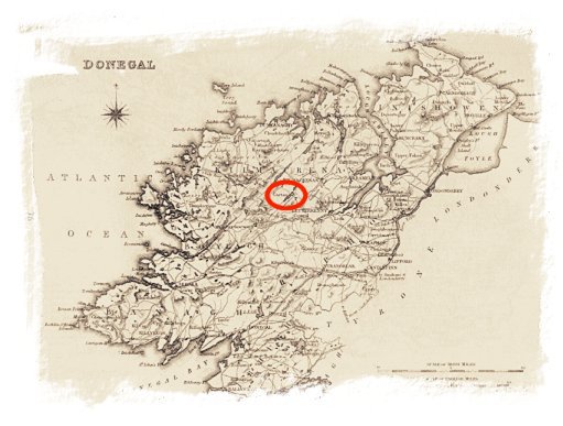
Ordnance Survey Maps 1833-1857
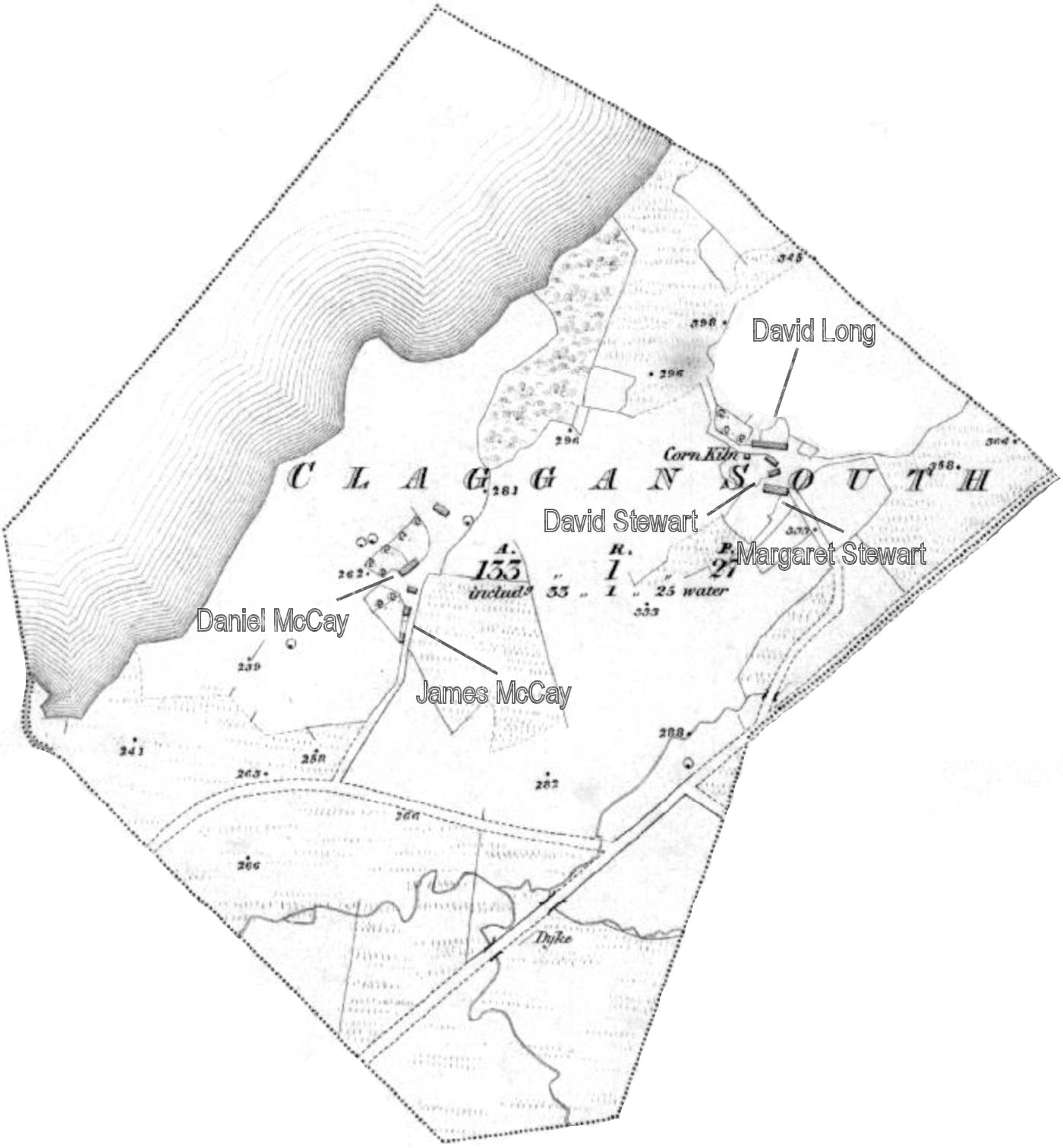
These maps are marked with the numbers & letters of reference to the 1857 Griffith's Valuation (in most cases) Claggan South householders
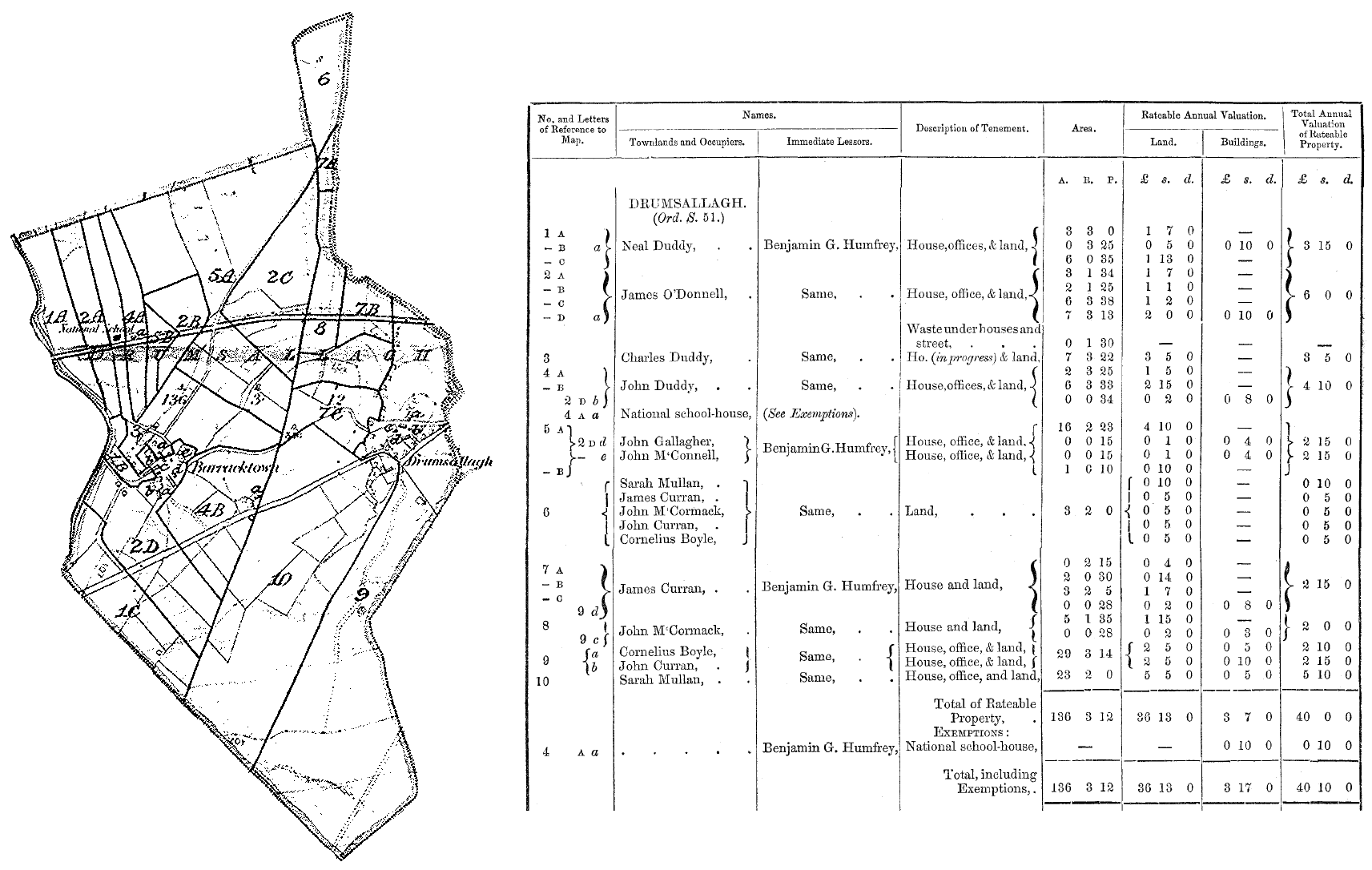
Combined Ordnance Survey Maps 1833-1857
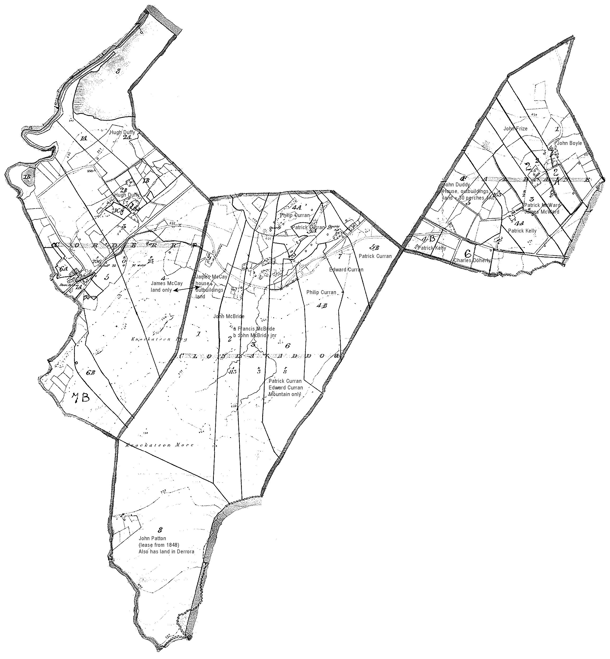
Ordnance Survey Maps 1905 labeled with locations of families in the 1901 census
Carrickatimpan (212kb)
© 1998/2009 Donegal Genealogy Resources