

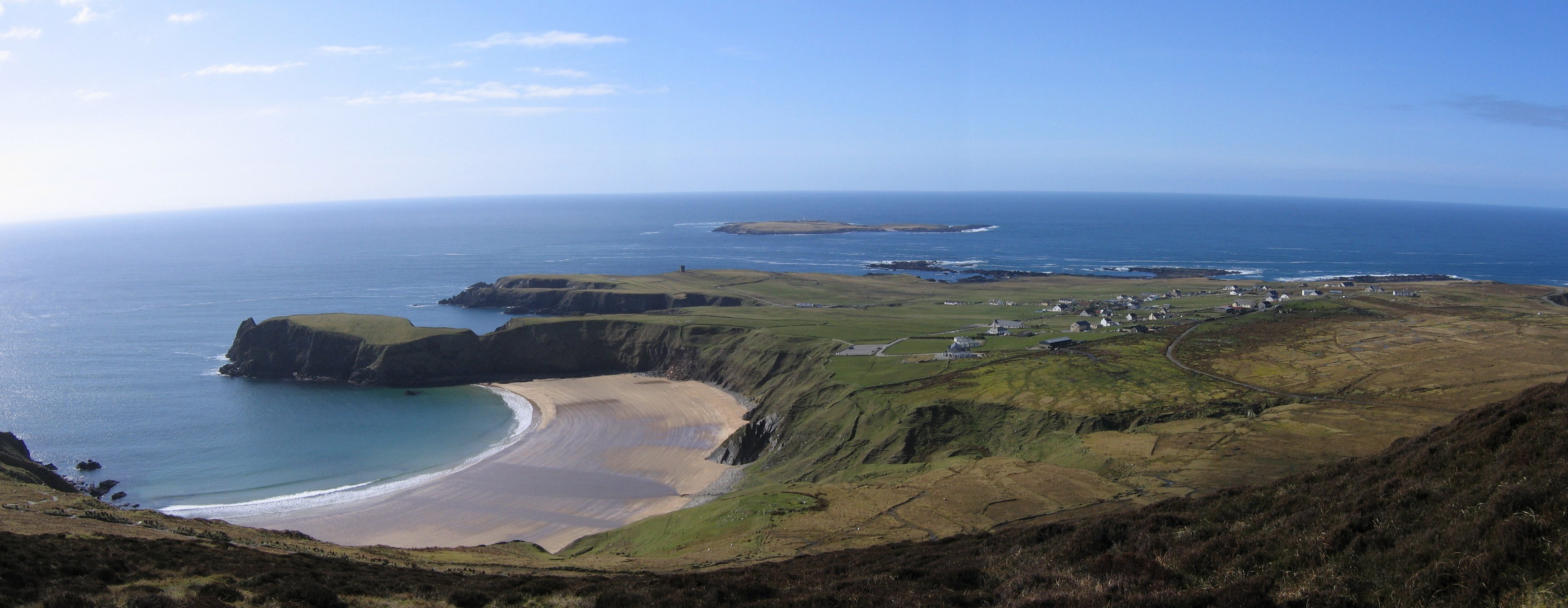
(Photo submitted by Mike. To see the full version of it, without borders, click on the photo above)
This is a section of the Donegal Genealogy Resources Website, commenced 24 Feb 2007
Many thanks to Tamy for her records and help getting this project started & Mike for photographs and even more records!
You may link to this page but not copy it.
If you have anything you'd like to add or would like to have yourself included in a Researchers section of these pages, then please Email me
![]()
Gleann Cholm Cille - Glencolumbkille
A parish, in the barony of BANNAGH, county of DONEGAL, and province of ULSTER, 11 1/2 miles (N. W. by W.) from Killybegs; containing 3752 inhabitants. This parish, which is on the northwest coast, includes within its limits Tellen head and Malin bay, and, according to the Ordnance survey, comprises 32,243 3/4 statute acres, of which 329 are water, and 61 3/4 are in Rathlin O'Birne islands, belonging to Kilbarron parish. Agriculture is backward; the waste land consists of large tracts of sand, bog, and mountain, among the last of which are Malin Beg, rising 1415, Glenlough 1513, and Slieve league 1964, feet above the level of the sea. Four fairs are held at Carrick annually. The living is a consolidated rectory and vicarage, in the diocese of Raphoe, and in the patronage of the Bishop: the tithes amount to £115. The glebe-house was erected by a gift of £369. 4., and a loan of the same amount from the late Board of First Fruits, in 1828. The glebe comprises 40 acres, of which 15 are cultivated land, and the remainder bog, rock, and pasture. The church is a plain building, erected by aid of a gift of £553. 16. from the late Board, in 1828. The R. C. parish is co-extensive with that of the Established Church, and contains two chapels. About 220 children are educated in three public schools, of which the parochial school is aided by an endowment from Col. Robertson's fund. On the summit of Slieve league are the remains of a religious house: here are also some ruins of a castle. On the site of the present church formerly stood a monastery, of which scarcely a vestige is left, except a subterraneous passage, which was discovered a few years since on digging a grave. A ruin is pointed out as having been the residence of St. Columb, and a cavity in an adjoining rock is called his bed. There is a well, dedicated to St. Columb, at which a patron is held, with twelve ancient stone crosses, placed a quarter of a mile apart, as preparatory stations to visiting the well. There is a remarkable echo in the mountains.
(Extract from A Topographical Dictionary Of Ireland by Samuel Lewis, 1837)
Last Updated 10 Aug 2019
Births, Marriages and Deaths
- Births
- Marriages
- Deaths
Books
Census
- 1851 Census
- 1901 Census (complete for the 55
inhabited Townlands)
- 1901 Aghragh
- 1901 Altclough
- 1901 Ballard updated
- 1901 Ballymore
- 1901 Bangort
- 1901 Beefan
- 1901 Braade Lower
- 1901 Braade Upper
- 1901 Cappagh
- 1901 Carrick Town
- 1901 Carrick Lower
- 1901 Carrick Upper
- 1901 Cashel
- 1901 Cloghan
- 1901 Contycro
- 1901 Creenveen
- 1901 Croaghcullion
- 1901 Croaghlin
- 1901 Dooey
- 1901 Doonalt
- 1901 Drum
- 1901 Drumroe
- 1901 Farranmacbride
- 1901 Faugher
- 1901 Gannew and Curreen
- 1901 Garveross
- 1901 Glenlough
- 1901 Kilaned
- 1901 Kilgoly
- 1901 Kiltyfanned
- 1901 Kinnakillew
- 1901 Laghil
- 1901 Lergadaghtan
- 1901 Lergadaghtan Mountain
- 1901 Lougheraherk
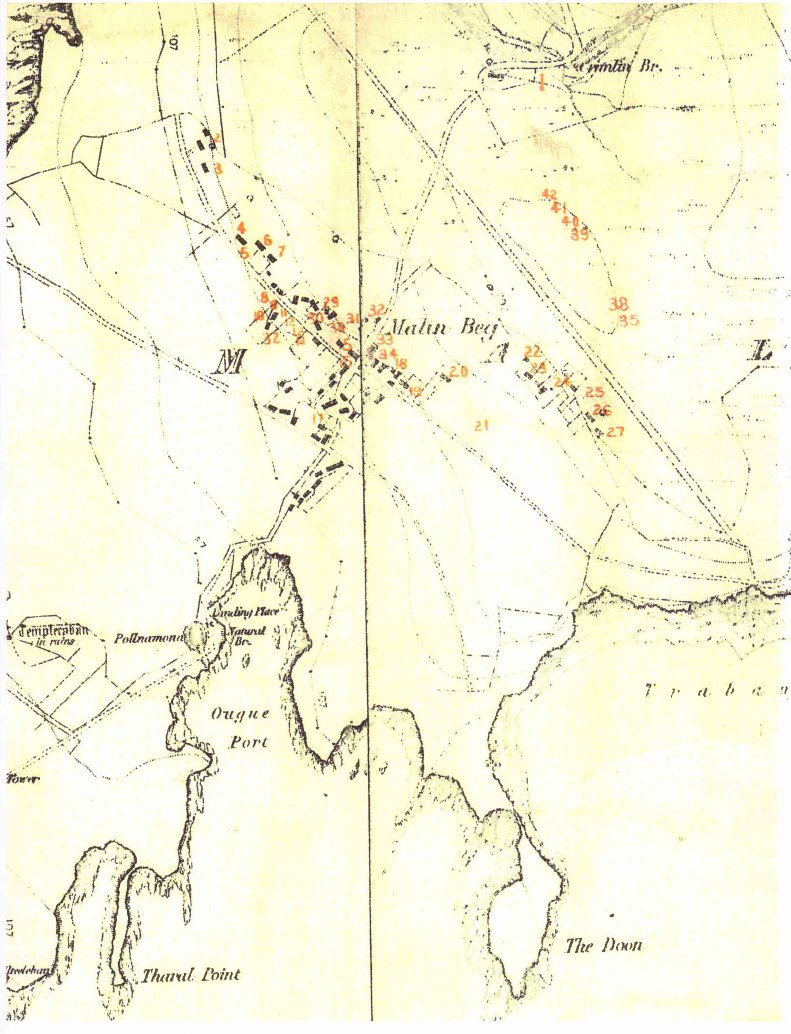
- 1901 Malin Beg
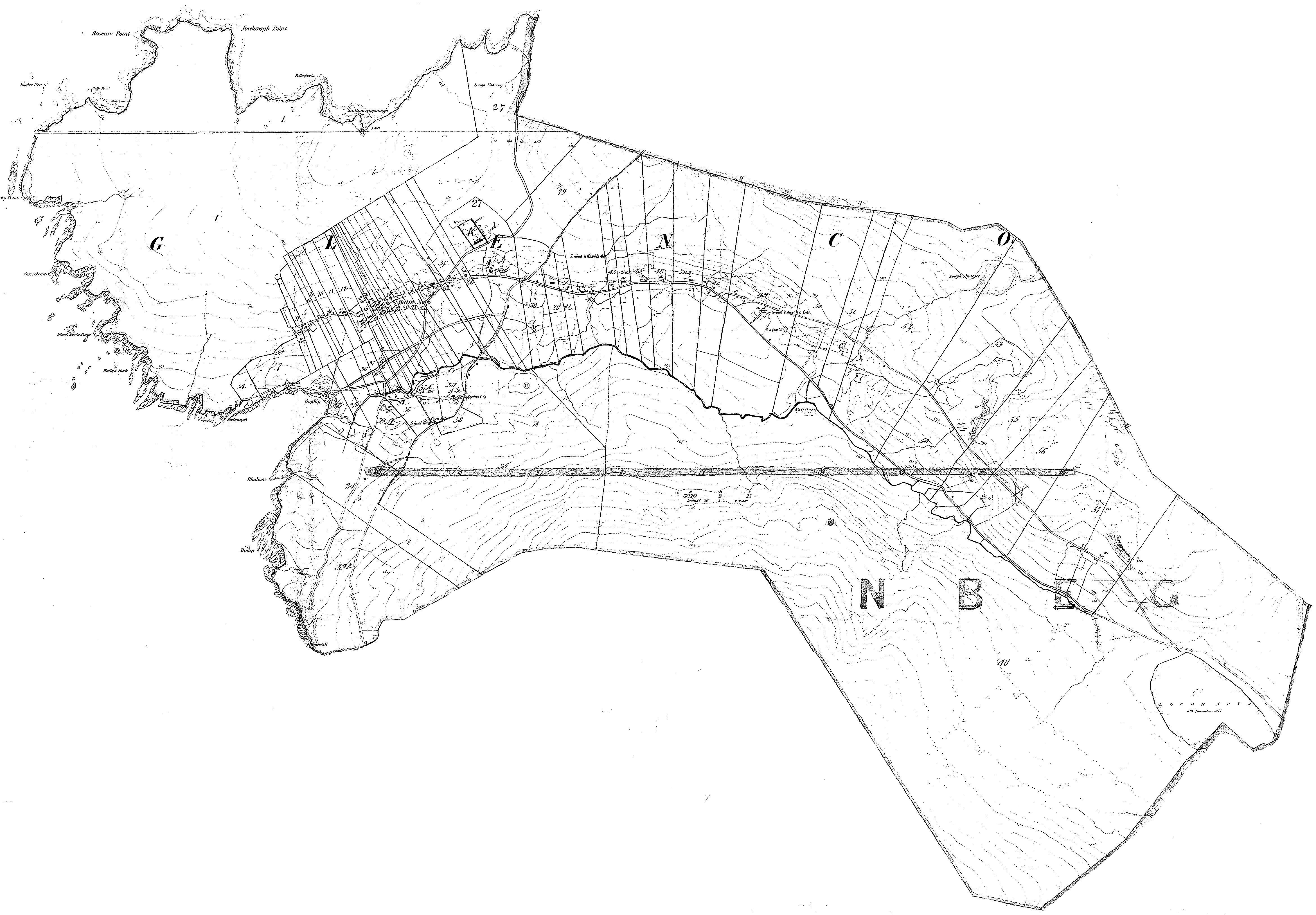
- 1901 Malin More
- 1901 Meenacharvey
- 1901 Meenacross
- 1901 Meenadiff
- 1901 Meenadreen
- 1901 Meenanery
- 1901 Meenasillagh
- 1901 Meenavaghran
- 1901 Meenavean
- 1901 Port updated
- 1901 Rathlin O'Birne Island
- 1901 Rinnakill
- 1901 Shanbally
- 1901 Straboy
- 1901 Straid or Glebe
- 1901 Straleel North
- 1901 Straleel South
- 1901 Stranagartan
- 1901 Ummerawirrinan
- Complete 1901 census online at NAI Census Website
Churches
- Church of Ireland
- Roman Catholic
Events & Stories
Families
Headstone Inscriptions
- Church of Ireland
- Roman Catholic
- St Columba's Graveyard (Carrick)(
Carrick On-Line
)
- Surname listing
- Thumbnail ilsting
- St Columba's Graveyard (Cashel)
- St Columba's Graveyard (Carrick)(
Carrick On-Line
)
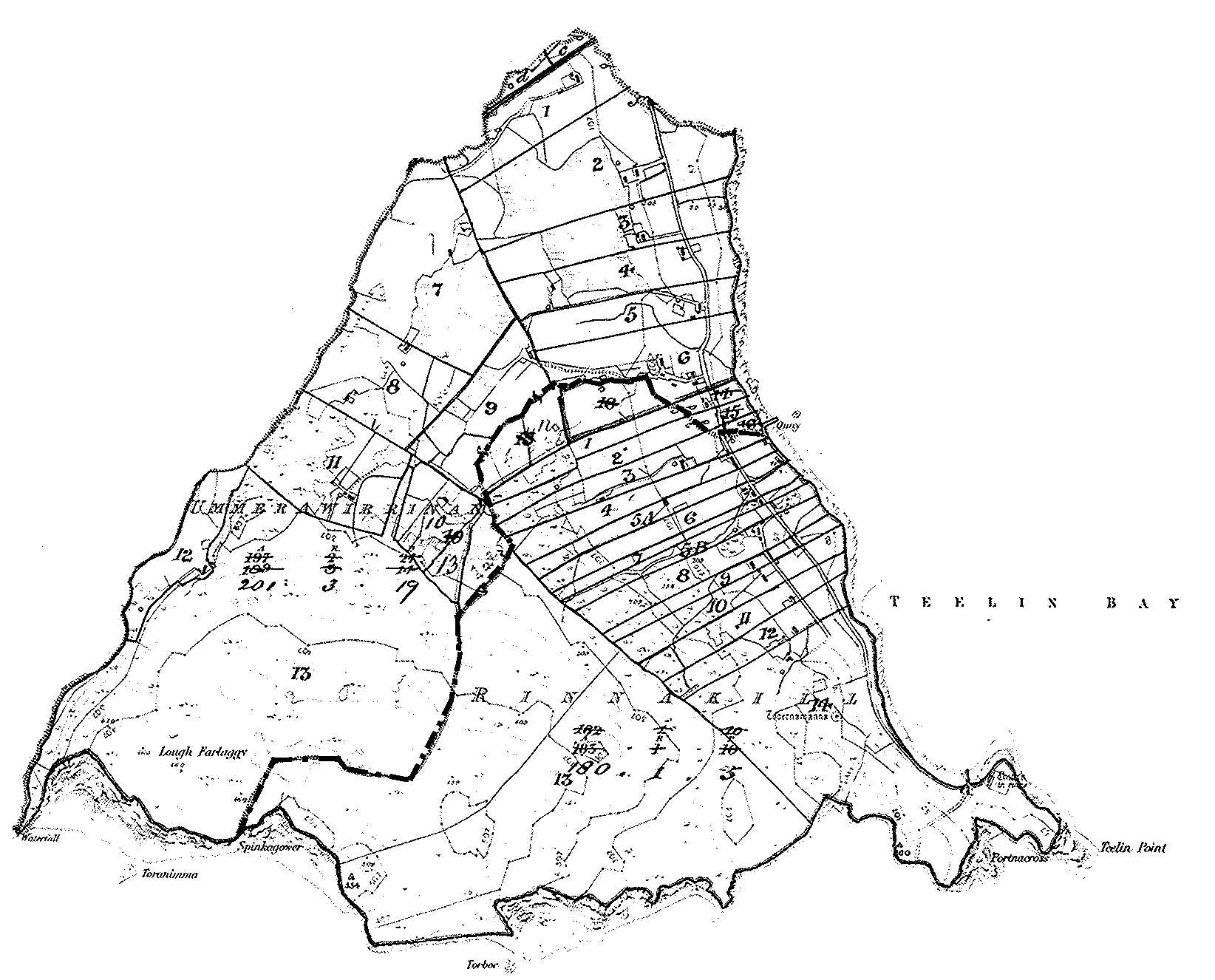
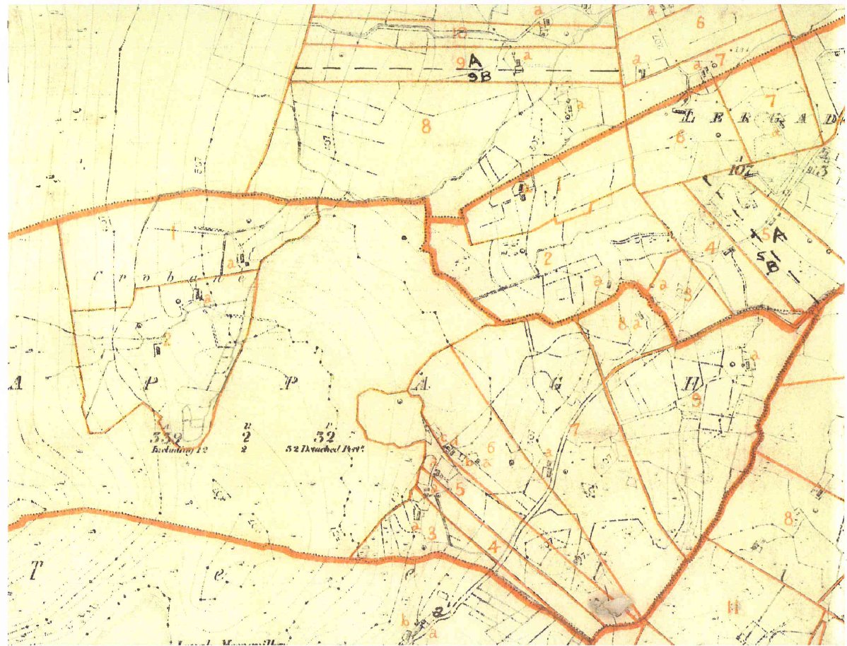
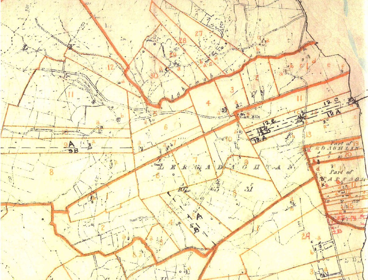
Land
- 1829-31 List of Persons who Applied to Register Freeholds
- 1857 Griffith's Valuation index
- 1857 Griffith's Valuation online
- 1857 Griffith's Valuation detailed (Mike Maloney)